Product
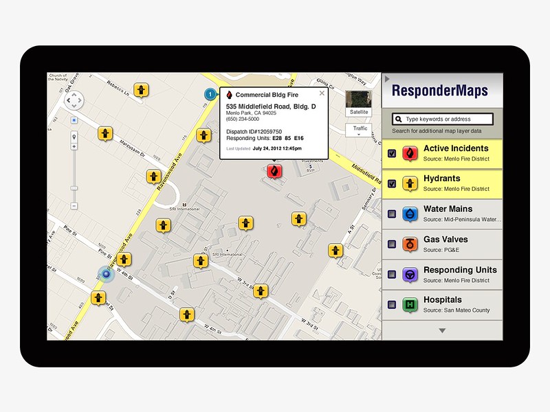
In conjunction with the Disaster Management Initiative, a partnership between Carnegie Mellon University and NASA Intelligent Robotics Group (IRG), I conducted product research and prototyping for Responder Maps. Envisioned as a mapping tool (or common operating plan) to assist first responders, Responder Maps addresses constraints faced by fire agencies operating across multiple jurisdictions with incomplete situational awareness.
User Research
The following artifacts and activities were employed to validate user needs and define core features and functionality:
- User Personas. Short write-ups capturing profiles of first responders engaged in tactical planning and operations.
- User Interviews and Testing. Informal Q&A conducted with first responders engaged in and coordinating onsite activities.
- Storyboards and Prototypes. Low- and high-fidelity static mockups and walkthrus of user scenarios presented in storyboard fashion to validate and test UI concepts and ideas.
- Product Brief. Animated video referencing user scenarios and mockups to elicit feedback and validate findings from stakeholders and partners.
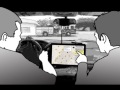
Storyboards and Mockups
Used in early stage requirements gathering, artifacts including swimlane diagrams, storyboards, and mockups served as discussion points for evaluating services and solutions.


Product Brief
An animated video, written and produced as part of the design/development process, served as an introduction and product demo for prospective partners.